Brandon Mountain
At 952 metres, Brandon Mountain dominates the Dingle Peninsula and the Atlantic. Demanding hike, glacial lakes, ruins of a medieval oratory and views of the Blasket Islands: an Irish summit steeped in historical and spiritual significance.
Brandon Mountain rises to 952 metres on the Dingle Peninsula, in County Kerry. Ireland's second-highest peak, it overlooks the Atlantic to the west and offers views of the Blasket Islands on clear days. A place of Christian pilgrimage dedicated to Saint Brendan the Navigator, it weaves together demanding hiking, coastal landscape and ancient religious heritage.
Quick facts at a glance
- Access: main departure from Faha (east-facing slope, via Cloghane) or from Brandon village (west-facing slope, the pilgrim path known as Cosán na Naomh).
- Entry: free access, no entrance fee.
- Suggested duration: allow half a day to a full day depending on the route chosen.
- Attire: waterproof hiking boots essential; warm clothing and windproof jacket even in summer.
- Accessibility: summit not accessible for those with reduced mobility; the environs of Brandon village remain accessible by car.
- Weather: conditions change very rapidly; check local forecasts before setting out.
What you'll see
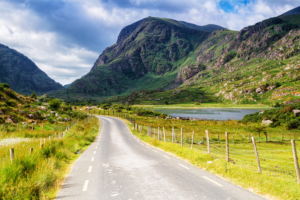
The east-facing slope follows a series of glacial cirque lakes (the Paternoster Lakes) before reaching the ridge. At the summit stand the ruins of a medieval oratory and a statue of Saint Brendan. On clear days, the panorama encompasses the Blasket Islands, Brandon Bay and, to the east, the lakes of Killarney.
History and context
Brandon Mountain bears the name of Saint Brendan of Clonfert (c. 484–577), an Irish monk to whom tradition attributes a legendary voyage across the Atlantic. Pilgrims have climbed the summit since the Middle Ages, following the Cosán na Naomh (the "path of the saints"), which connects several monastic sites across the peninsula. This path remains one of Ireland's oldest pilgrimage routes still in use.
Highlights of the visit
The ascent via Faha and the glacial lakes
The route from Faha is the most popular. It follows glacial cirque lakes set deep in the landscape before reaching the north-south ridge. The climb is gradual but the terrain becomes rocky and exposed higher up.
The Cosán na Naomh (pilgrim path)
From Brandon village, this historic trail crosses heathland and bog. It connects several clochans (dry-stone huts) and wayside crosses, testament to early Irish monasticism.
The summit and its ruins
At the summit, the remains of a medieval oratory and a modern statue mark the place of worship. The view over the Atlantic and the Blasket Islands is the hike's crowning moment, both literally and symbolically.
Photography tips
Morning light on the east-facing slope illuminates the glacial lakes with minimal shadow. In late afternoon, the setting sun over the Atlantic from the western ridge casts warm tones across the Blasket Islands. Days of partial mist create sea-of-clouds effects in the cirques. No known photography restrictions.
Location and access
Brandon Mountain lies at the north-western tip of the Dingle Peninsula, roughly 15 km north-west of Dingle town. The village of Cloghane, the departure point for Faha, is accessible by car from Dingle via the coastal road. There is no regular public transport to the hiking trailheads; a car is necessary. Local guides offer guided trips departing from Dingle.
In the surrounding area
- Dingle Peninsula — one of Ireland's wildest peninsulas, with cliffs, beaches and prehistoric sites.
- Blasket Islands — uninhabited archipelago since 1953, visible from the summit, accessible by boat from Dunquin in season.
- Slea Head — spectacular promontory at the western tip of the peninsula, with views of the Blasket Islands and numerous clochans.
- Dingle (An Daingean) — the peninsula's main town, a logistical base with accommodation, restaurants and access to guides.
Frequently asked questions
From May to September, days are long and weather conditions more stable. Summer remains windy and clouds frequent; a window of fine weather on a weekday is often more reliable than a crowded August weekend.
The elevation gain and rocky terrain at altitude make this an intermediate to advanced-level hike. Good physical fitness and waterproof boots are essential. Fog can make navigation difficult without a map or GPS.
Yes, but not on the same day. The Blasket Islands are visited from Dunquin, at the opposite end of the peninsula. Plan two separate days from a base in Dingle.
No guide is mandatory. Local accompaniers are available in Dingle for those seeking a guided trip, which is recommended in poor visibility.
Yes. Pilgrimages take place annually, particularly around Saint Brendan's feast day (16 May). The summit remains a place of contemplation; respectful behaviour is expected near the ruins and statue.
Interested in this visit?
We can include it in your personalised itinerary.