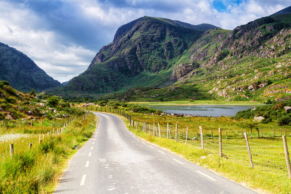
Ballyferriter
At the western edge of the Dingle Peninsula, Ballyferriter is an Irish-speaking village surrounded by sea cliffs, prehistoric forts and views of the Blasket Islands — gateway to Ireland's wildest landscape.
Ballyferriter is a small Irish-speaking village located at the western tip of the Dingle Peninsula in County Kerry. Surrounded by Atlantic cliffs, prehistoric promontories and bogland scenery, it stands as one of Ireland's last strongholds of the Irish language. The village serves as a natural starting point for exploring the archaeological sites and wild coastlines of the Dingle peninsula's far reaches.
Practical information at a glance
- Getting there: a car is recommended — the Dingle Peninsula has limited public transport; Ballyferriter lies west of Dingle town on the R559.
- Suggested duration: half a day to a full day to combine the village, coastline and nearby archaeological sites.
- Language: Gaeltacht area — Irish is the everyday language; English is understood everywhere.
- Weather: highly changeable Atlantic climate; waterproof jacket essential in all seasons.
What to see
The village itself is modest: a handful of houses, a pub, a church. The appeal lies in its immediate surroundings. The jagged coastline offers views across to the Blasket Islands, a group of islets now uninhabited but rich in literary history. Golden-sand beaches like Smerwick Strand border the village to the north, beneath dramatic cliffs.
History and context
The region takes its name from the Ferriter family, a Norman family who became Irish-speaking, best known through the 17th-century poet Piaras Feiritéar. The Dingle Peninsula holds an exceptional concentration of prehistoric monuments and early Christian-era sites: stone forts, oratories, ogham stones. Ballyferriter sits at the heart of this archaeological zone.
Highlights of a visit
Dún an Óir fort
Just outside the village, this fortified promontory overlooks Smerwick Bay. In 1580, a Spanish-Italian garrison was massacred here by English forces — a defining episode in Ireland's wars. The site offers sweeping views across the Atlantic.
The Blasket Islands from the shore
On clear days, the Great Blasket Island and its satellite islets rise on the horizon from the heights around Ballyferriter. Dunquin, the departure point for ferries to the Blaskets, lies a few kilometres to the east.
Chorca Dhuibhne museum
This small local museum, based in Ballyferriter, documents the archaeology and culture of the Dingle Peninsula. It makes a good introduction before exploring the outdoor sites.
Photography tips
Late afternoon light is ideal on the Smerwick cliffs and around Dún an Óir. Misty mornings lend a particular atmosphere to the boglands. From the heights above the village, framing the Blaskets as a backdrop works well towards day's end.
Location and access
Ballyferriter lies at the western tip of the Dingle Peninsula, about 15 km west of Dingle town via the R559. A car is virtually essential. The village is accessible on foot from certain sections of the Dingle Way, a walking trail that circles the peninsula. There is no train station or regular bus service to the village.
Nearby attractions
- Great Blasket Island — deserted in 1953, accessible by ferry from Dunquin in summer; unique landscapes and literary heritage.
- Gallarus Oratory — early Christian-era dry-stone structure, remarkably well preserved, a few kilometres to the east.
- Dingle town — main town on the peninsula, with restaurants, pubs and access to boat trips.
- Slea Head — spectacular promontory with views of the Blaskets, on the road between Ballyferriter and Dunquin.
Frequently asked questions
May to September offers the most pleasant weather, and ferries to the Blaskets operate regularly. Outside this period, the village is very quiet and some services close.
Yes, in practice. The Dingle Peninsula is not served by regular bus routes to the western tip. Car hire from Killarney or Tralee is the most common solution.
Yes. The ferry departs from Dunquin, a few kilometres to the east. Plan for a full day: the crossing, walking on the island and the return journey take several hours.
Accommodation is limited: a few B&Bs and holiday rentals in the village and its immediate surroundings. Dingle town, 15 km away, offers a wider choice of hotels and hostels.
The museum operates mainly during the summer season. It is advisable to check opening hours before planning your visit, as they vary depending on the time of year.
Want to discover this destination?
Our local advisors design your tailor-made trip.