Garavogue River
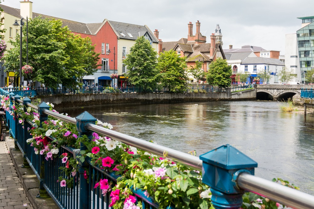
The Garavogue flows through Sligo, linking Gill Lake to the bay. Its quays lined with colorful facades offer an easy walk through the city center, steps away from the abbey and Yeats' lake.
The Garavogue winds through central Sligo for several kilometers, connecting Gill Lake to Sligo Bay. Short yet vibrant, it shapes the heart of the town: its quays lined with cafés and Victorian buildings make it a daily promenade and geographical landmark alike. For visitors, walking its banks captures Sligo's atmosphere effortlessly.
What you'll see
Along the quays, colorful facades mirror themselves in the water. Several bridges span the river in the city center, including Hyde Bridge, the main crossing point. Swans and ducks frequent the banks regularly. To the east, the river opens onto Gill Lake, the natural setting that inspired W. B. Yeats' poetry.
History and context
Sligo owes much of its commercial development to the Garavogue, which once carried goods from the bay inland. The quays hosted local port activity for centuries. Today redesigned, they retain some buildings from that era. The name "Garavogue" comes from Irish Garbhóg, meaning roughly "rough little river."
Highlights of your visit
Hyde Bridge and the central quays
Hyde Bridge, renamed in honor of Douglas Hyde, Ireland's first president, offers an unobstructed view of both banks. It's the natural starting point for a walk along the north and south quays.
Toward Gill Lake
Following the river east, you gradually approach Gill Lake's shores. This body of water inspired Yeats' poem The Lake Isle of Innisfree. Innisfree island is visible from certain lakeside points and is accessible by car from Sligo.
Photography tips
Morning light, before the quays come alive, creates the sharpest reflections on the water. The colorful facades on the south bank photograph beautifully from the north quay. Late afternoon light, raking across the surfaces, accentuates the textures of older buildings.
Location and access
The Garavogue flows through the heart of Sligo, a town in northwestern Ireland. The quays are accessible on foot from Sligo's bus and train station, just a few minutes' walk away. The riverside promenade is flat and navigable by stroller or wheelchair on developed sections.
Nearby
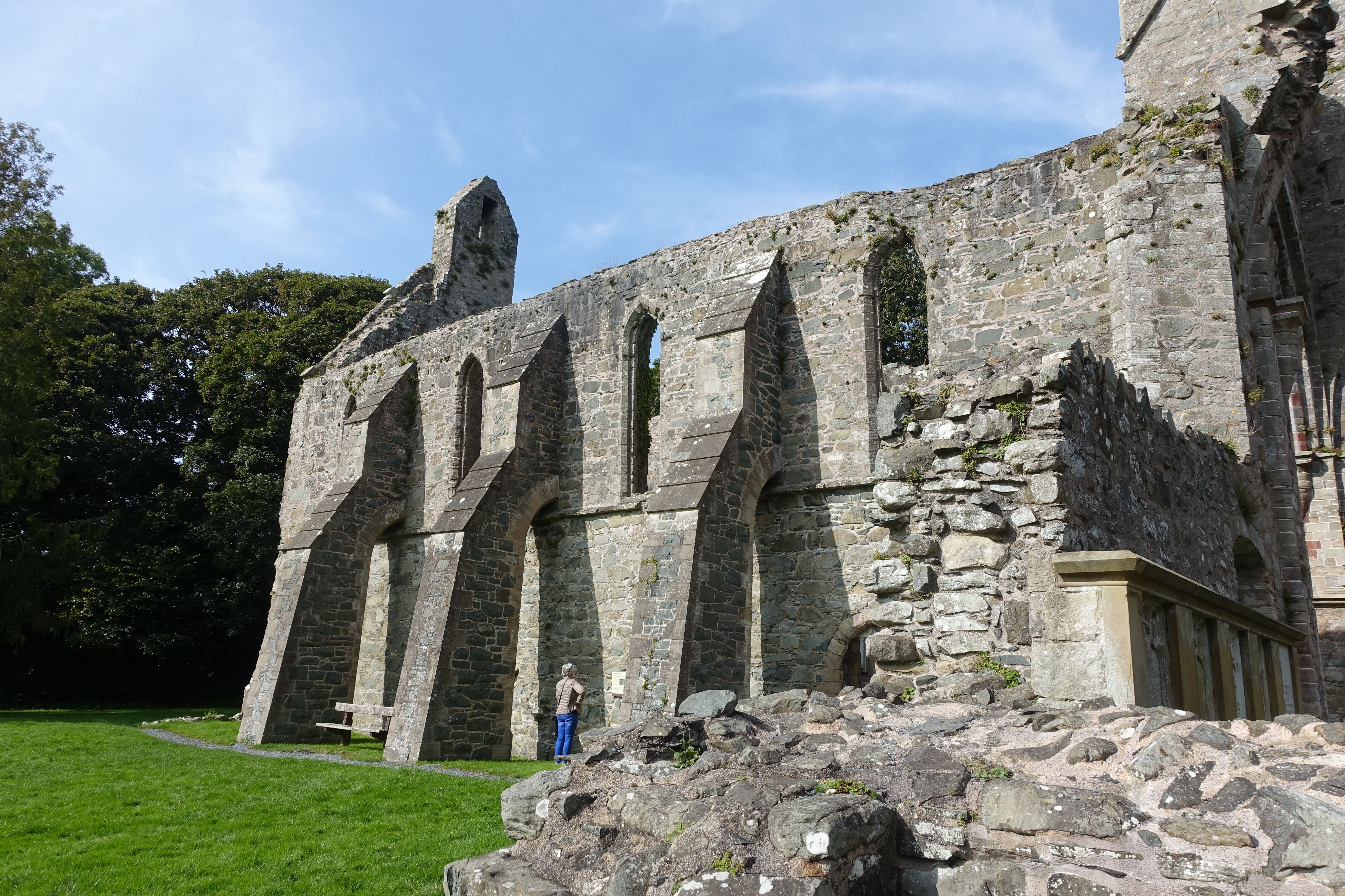
- Sligo Abbey — well-preserved medieval Dominican ruins steps from the quays.
- Gill Lake — peaceful water east of town, bound to Yeats' poetic universe.
- Knocknarea — hilltop crowned with Queen Maeve's neolithic cairn, visible from several points around Sligo.
- Carrowmore — one of Ireland's largest megalithic complexes, a few kilometers southwest.
Frequently asked questions
Yes, the quays are open public spaces at all times. During rainy weather, cafés and restaurants lining the banks offer shelter for breaks.
A leisurely walk from the central quays to the edges of Gill Lake takes 30 minutes to 1 hour depending on pace. The return journey can be made via the opposite bank.
Easily: Sligo Abbey is within walking distance of the quays. The Sligo County Museum, housing Yeats manuscripts, is also downtown.
Kayaking and canoeing outings are offered by local operators on the river and Gill Lake. Check with Sligo's tourist information office for options available during your stay.
The central quays are flat and paved, accessible by wheelchair or stroller. The natural sections toward Gill Lake are less developed.
Nearby


Interested in this visit?
We can include it in your personalised itinerary.